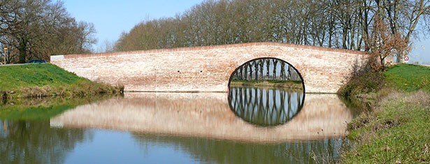
Canal du Midi
Summary
This 360-km network of navigable waterways and its 328 structures (locks, aqueducts, bridges, tunnels) linking the Mediterranean and the Atlantic is one of the most remarkable feats of civil engineering of modern times. It was constructed between 1667 and 1694 and paved the way for the industrial revolution. The concern of its creator, Pierre-Paul Riquet, for its aesthetic design and to ensure that it blended into the landscape produced not only a technical achievement but also a work of art.
Criteria
Criterion (i): The Canal du Midi is a living witness of the art and creativity of engineers who worked during the reign of Louis XIV and who triumphed over difficult geographic and hydrographic conditions to realize the age-old dream of linking the Atlantic and the Mediterranean. Riquet designed and started the project, which was completed by Vauban and modernized by engineers during the 19th century. It is one of the greatest civil engineering works of all time.
Criterion (ii): The Canal du Midi was the largest public works project in Europe after the fall of the Roman Empire. Its technical and cultural characteristics had a significant influence on the construction of navigable waterways in the industrialized countries of Europe and North America.
Criterion (iv): The Canal du Midi was the first large summit-level canal, constructed to meet the strategic aim of regional development. It is the quintessential illustration of a significant period of European history in which river transport was revolutionized by advances in civil hydraulic engineering.
Criterion (vi): The Canal du Midi became the most remarkable feature of the area that it passed through, blending harmoniously with the landscape. Land use around the canal has remained almost unchanged in three centuries.
- Année d'inscription : 1996
- Critères d'inscription : i, ii, iv, vi
- Superficie du bien inscrit : 1 172 ha
- Localisation : Departments of Haute-Garonne, Tarn, l'Aude and of l'Hérault, Region of Occitanie
- Coordonnées DMS : N43 36 41 E1 24 59
- Registration year : 1996
- Registration criterion : i, ii, iv, vi
- Area of the inscribed : 1 172 ha
- Location : Departments of Haute-Garonne, Tarn, l'Aude and of l'Hérault, Region of Occitanie
- Coordinates DMS : N43 36 41 E1 24 59
Same category

Events

First meeting of Associations of World Heritage Properties in Europe
Strasbourg - Du 15 au 16 october 2015